Celestial Navigation, the Easy Way!
Have you ever wondered what would happen if you were making an ocean passage, way offshore and out of sight of land, and all of your electrics failed? No GPS. No chart plotter. Nothing!
Would you be able to calculate your location?
All you would need would be a sextant, a chronometer, nautical almanac and HO 249 (or the British equivalent), of course the celestial bodies, chart, pen and paper, and knowledge in celestial (astro) navigation.
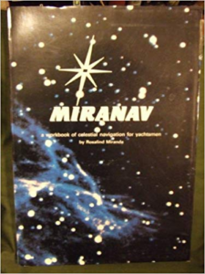
CBYA member, Rosalind Miranda, has written a successful book on celestial navigation entitled “Miranav: A workbook of celestial navigation for yachtsmen”.
Here is the Cruising World review of her book….
Consider this unique workbook a piece of safety equipment! It is totally waterproof and rustproof (plastic covers, pages and spiral binding) and will provide a reliable back-up to all electronics, including calculators. Unlike a book, Miranav can be submerged, dried off and immediately used….. a potential lifesaver! All theory has been removed, and the text is designed to take the navigator from Point A to point B with tested clarity. Instructions are given for obtaining Line of Position (LOP) using the sun, moon, planets or stars; for plotting a LOP, for getting a running fix, for finding both longitude and latitude at noon, for using Polaris to calculate latitude, and for using a RDF and the Star Finder and Identifier. The Miranav method uses HO 249 and Nautical Almanac, and use of Time Chart eliminates problems in determining G.M.T., no need for mathematical calculations. Clearly-written numbered instructions correspond to numbers on four laminated work-forms that are re-usable (grease pencil or felt tip pen wipes clean with a damp cloth). Miranav has been reviewed and rated excellent by Cruising World staff.


Wonderful opportunity for interested members & so generous of Rosalind to give her time & knowledge.
Thank you Rosalind & Rachel. .